
Safety, method and transparency
A drone mission is prepared like a flight: a clear objective, risk analysis, authorizations, checklists and a debrief.
Six steps, no improvisation
Scoping the need
We clarify your goal, location, asset type, timeline, deliverables and access constraints. Your existing plans and photos are welcome.
Site and airspace review
Airspace class, nearby airports and heliports, obstacles, neighbours, public presence and sensitive areas.
Planning and authorizations
Flight plan, sensor choice, NAV CANADA authorization in controlled airspace, owner's consent and emergency plan.
Data capture
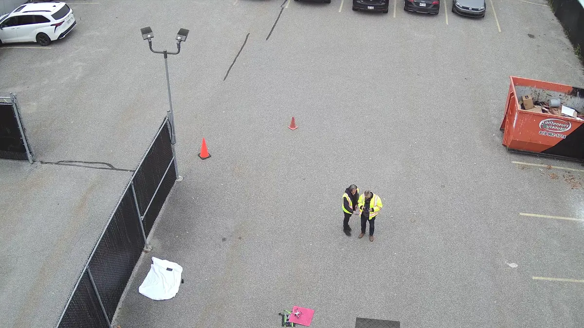
Briefing, checklists, secured perimeter and visual line-of-sight flight. Weather is reassessed on site before take-off.
Processing and quality control
Data sorting, thermal, photogrammetry or LiDAR processing, quality control and flagging of observations.
Report and archiving
Deliverables explained in plain language, limits stated, and secure archiving as agreed.
Flying by the rules, every time
In Canada, drones from 250 g to 25 kg are governed by Part IX of the Canadian Aviation Regulations. Operations near people or in controlled airspace require a Pilot Certificate - Advanced Operations and, depending on the location, a NAV CANADA authorization. The rules were expanded on November 4, 2025, notably for medium-sized drones and some beyond-visual-line-of-sight operations.
Jean-François LeBlanc holds Transport Canada's Pilot Certificate - Advanced Operations. For every project, we check the requirements that apply on the date and at the location of the flight.
Weather decides, not the schedule
Wind, precipitation, icing, visibility and temperature affect flight safety and data quality. For thermography, the time of day and sun exposure on previous days matter as much as current conditions. If conditions are not right, we postpone: it is the best way to protect your site and your data.
- Aviation forecasts and observations checked before every flight
- Manufacturer wind and temperature limits respected
- No-charge rescheduling when weather requires it
Your images stay yours
Images of a building can reveal sensitive information. We limit capture to the project area, avoid capturing identifiable people and transfer files securely. No client image is published without written permission.
Our team comes from cybersecurity and privacy compliance (Quebec's Law 25): protecting information is part of our method.
Tell us about your building, land or construction site
Describe your needs in a few lines. We check feasibility, airspace and authorizations, then send you a clear quote.