Our drones and sensors
Each sensor answers a different question. Here is what we use, explained simply, including what each tool can and cannot do.
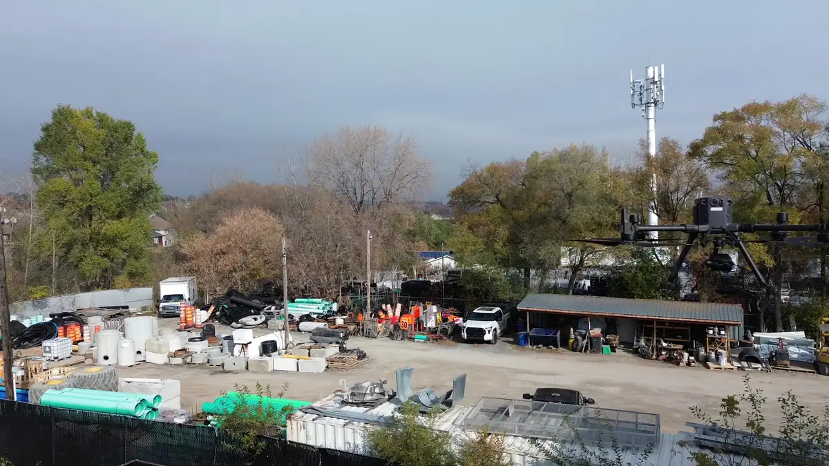
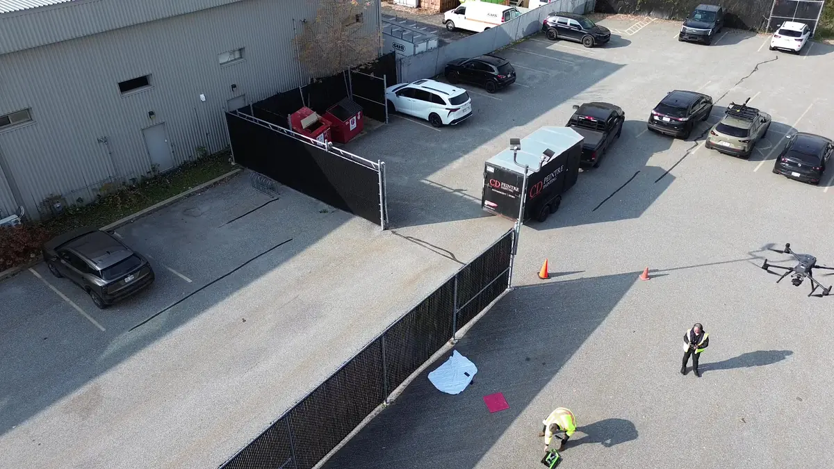
DJI Matrice 300 RTK
The Matrice 300 RTK is an enterprise drone built for inspection and mapping. RTK positioning improves data georeferencing, and redundant systems (dual batteries, obstacle sensing) strengthen operational safety. Depending on payload, it offers up to about 55 minutes of flight time.
- DJI Smart Controller Enterprise
- BS60 charging station and rotating TB60 batteries
- Compatible with the XT2, P1 and L1 sensors
Three sensors, three types of data
DJI Zenmuse XT2
Radiometric thermal + 4K visibleA 640 x 512 FLIR thermal sensor paired with a 4K visible camera. It measures apparent surface temperatures and is used to screen for thermal anomalies on roofs, envelopes and equipment.
DJI Zenmuse P1
45 MP full-frame photogrammetryA 45-megapixel full-frame sensor with a mechanical shutter, designed for aerial mapping: orthomosaics, surface models and 3D models.
DJI Zenmuse L1
LiDAR, IMU and RGBIntegrated Livox LiDAR module, inertial measurement unit and RGB camera. It produces colourized 3D point clouds, including under some vegetation.
For simple and immersive shoots
DJI Mini 3
Light and discreetIdeal for site scouting, photos of small properties and shoots where a light aircraft reduces the footprint on site.
DJI Avata 2
Immersive FPV videoFor immersive video sequences and close-in flight paths, only when the site, flight scenario and visual observation allow it.
Tell us about your building, land or construction site
Describe your needs in a few lines. We check feasibility, airspace and authorizations, then send you a clear quote.