
Drone LiDAR survey
3D point clouds that describe the shape of terrain, structures or wooded areas, including where photogrammetry reaches its limits.
When a photo isn't enough
A LiDAR survey makes sense when the ground is partly hidden by vegetation, when geometry is complex, or when you need a dense 3D model for planning.
- Wooded land and development projects
- Corridors, slopes, ditches and drainage
- Structures and industrial sites
- Preliminary studies and planning
From planning to a classified point cloud
We define the area, target point density and flight constraints. After capture, the point cloud is processed, colourized and, depending on the project, classified (ground, vegetation, buildings) to produce the requested models and profiles.
Millions of points to describe the terrain
LiDAR sends laser pulses and measures their return. Some pulses pass through gaps in the foliage and reach the ground, making it possible to model terrain where a photo only sees treetops.
Illustration: point cloud generated for educational purposes, coloured by elevation.
A look at the data
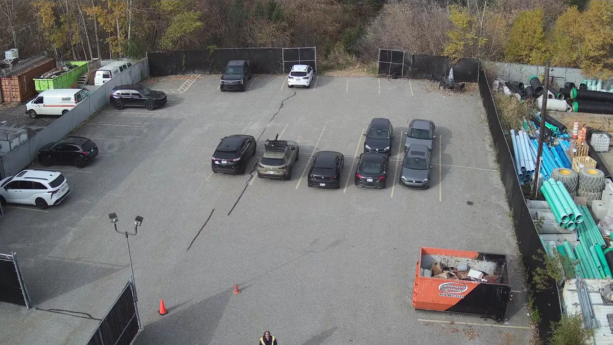
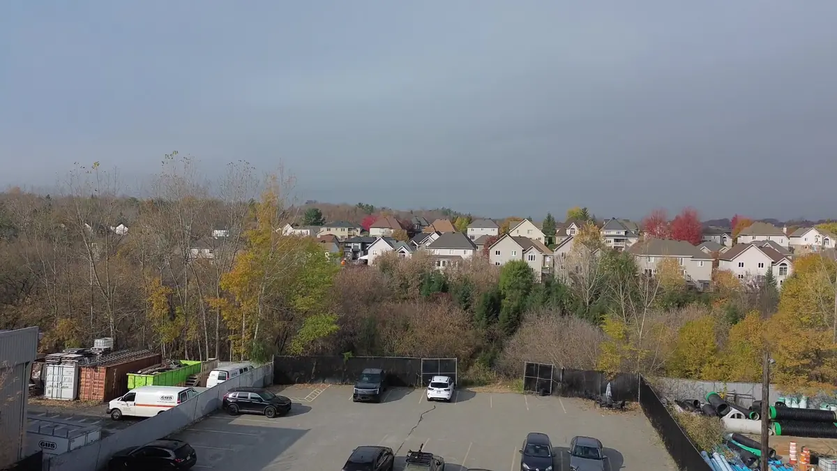
What you receive
- Colourized point cloud
- Digital terrain or surface model
- Profiles and cross-sections
- Ground, vegetation and building classification as required
- Method and quality control report
File formats are agreed in the quote, based on your software and needs.
What you should know
- Drone LiDAR does not replace a legal land survey.
- Density and accuracy depend on flight path, vegetation, calibration and processing.
- Water surfaces and some very dark materials return little signal.
- Manufacturer accuracy figures are not a guarantee of results.
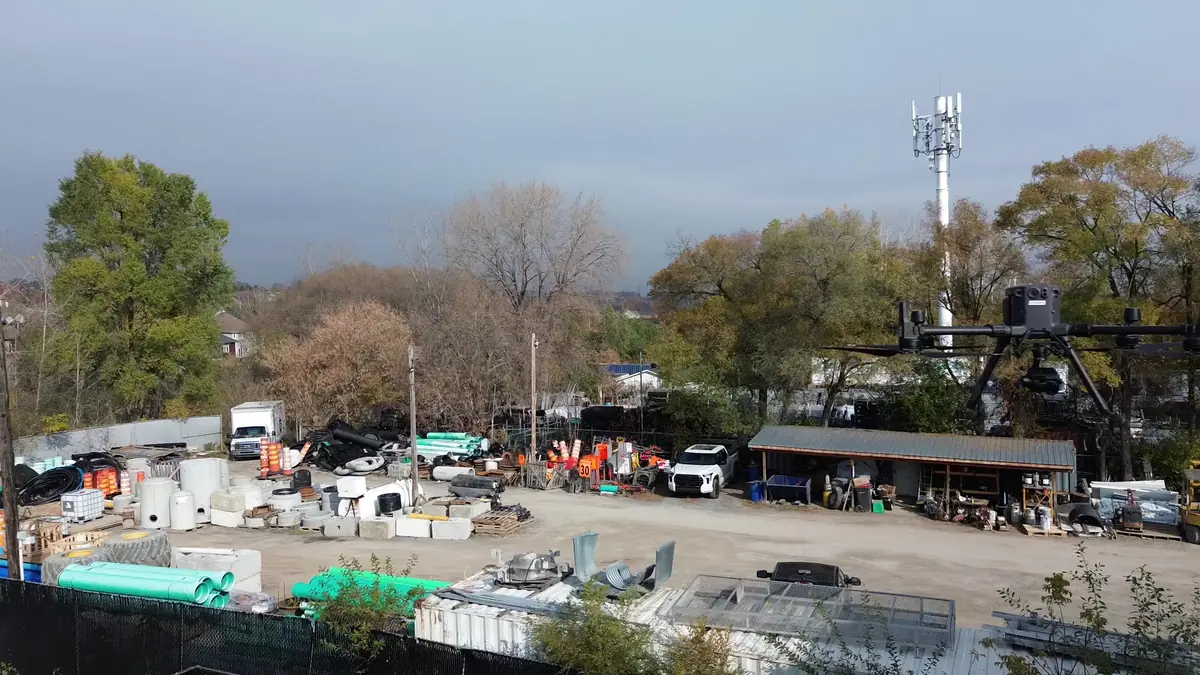
Zenmuse L1 on the Matrice 300 RTK
The DJI Zenmuse L1 integrates a Livox LiDAR module, a high-accuracy inertial measurement unit and an RGB camera in a single payload. It is designed for the Matrice 300 RTK, our main platform.
Frequently asked questions
What is the difference between LiDAR and photogrammetry?
Photogrammetry rebuilds a surface from photos: excellent texture, but it only sees what is visible. LiDAR measures distances directly and can reach the ground beneath some vegetation.
Does LiDAR work at night?
The laser works without light, but colourization and flight safety generally require daytime flights.
Will the files work with our software?
Yes, formats are agreed in the quote based on your team's software.
Often combined with this service
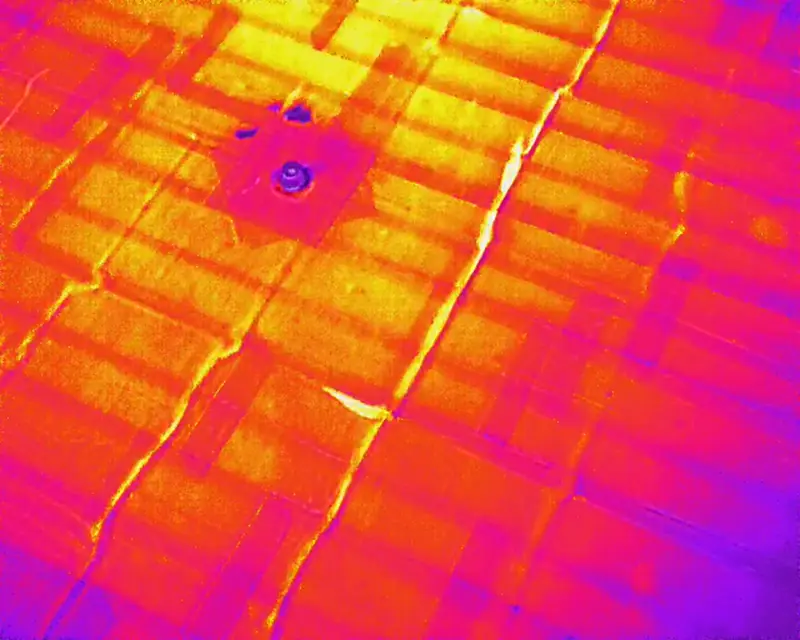
Drone thermal inspection
Spot temperature anomalies on roofs, walls and equipment without scaffolding or a lift.
Learn more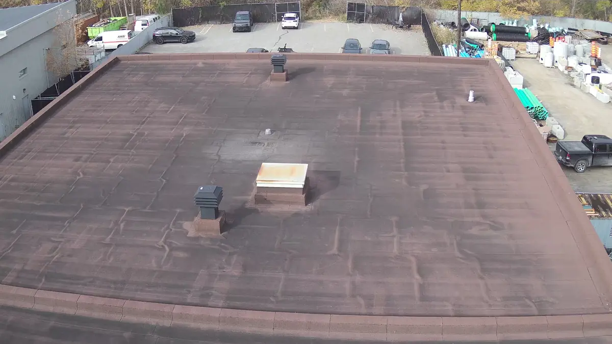
Roof and building inspection
High-definition photos and video of roofs, facades and hard-to-reach structures, with an illustrated report.
Learn moreMapping and photogrammetry
Orthomosaics, 3D models and high-resolution aerial views with the 45 MP Zenmuse P1 camera.
Learn moreTell us about your building, land or construction site
Describe your needs in a few lines. We check feasibility, airspace and authorizations, then send you a clear quote.