
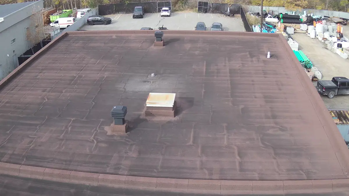
Drone inspection and mapping services
From a simple roof photo to a LiDAR point cloud, we choose the sensor based on the question you need answered.
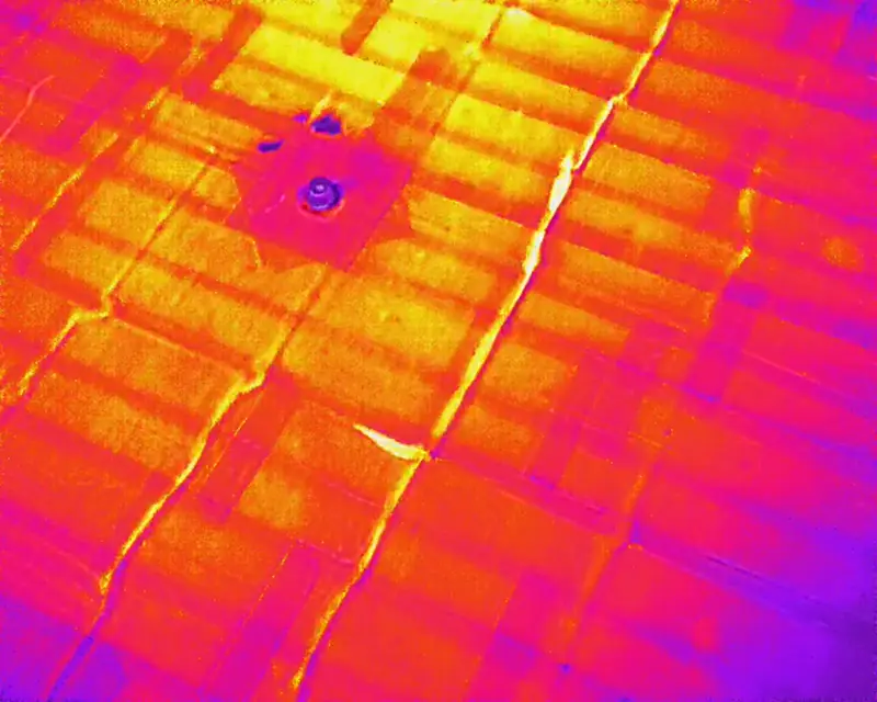
Drone thermal inspection
Spot temperature anomalies on roofs, walls and equipment without scaffolding or a lift.
Learn moreRoof and building inspection
High-definition photos and video of roofs, facades and hard-to-reach structures, with an illustrated report.
Learn more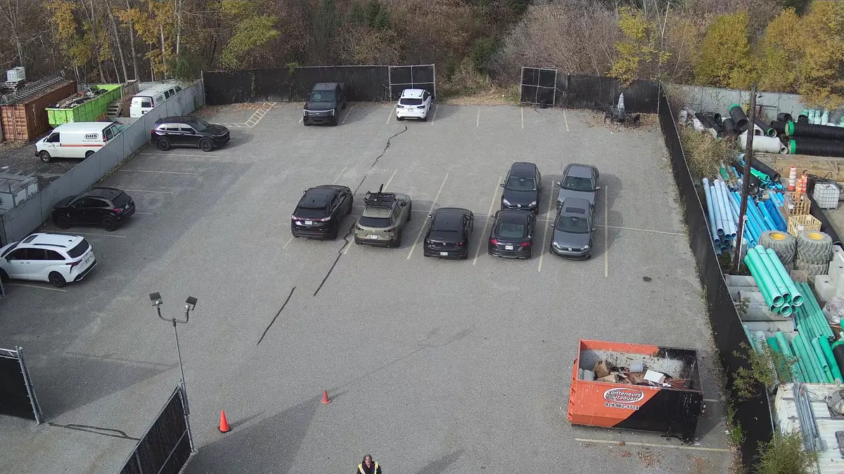
Mapping and photogrammetry
Orthomosaics, 3D models and high-resolution aerial views with the 45 MP Zenmuse P1 camera.
Learn more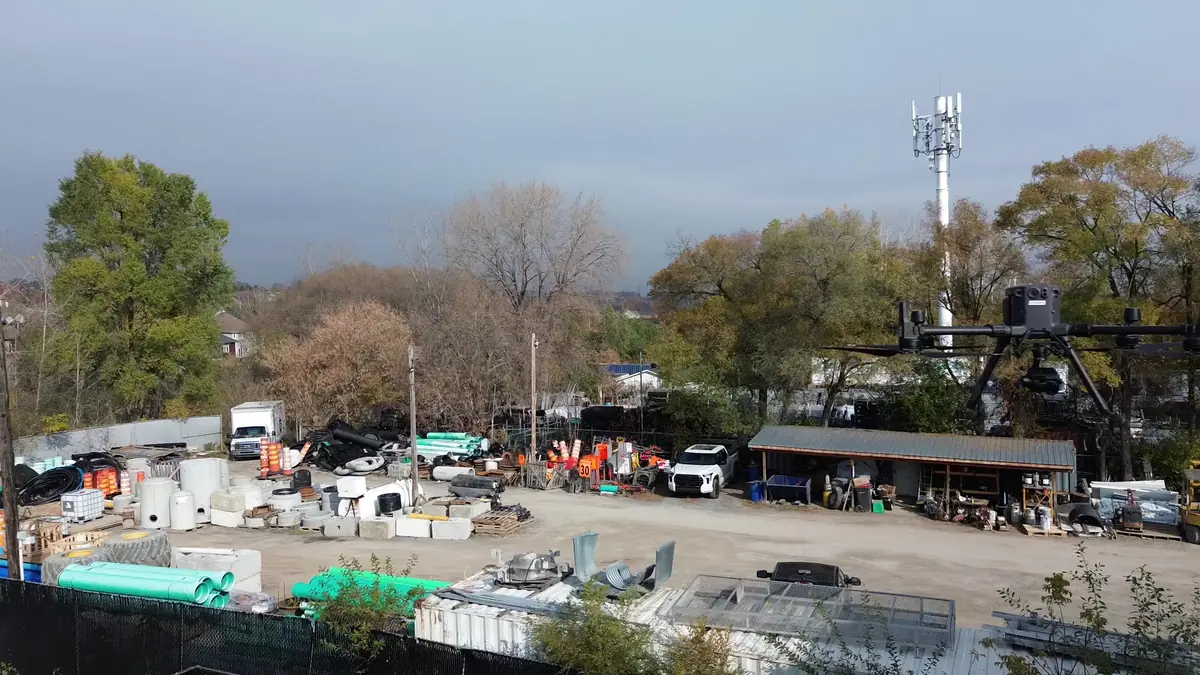
Drone LiDAR survey
3D point clouds with the Zenmuse L1 sensor, useful under vegetation and on complex terrain.
Learn more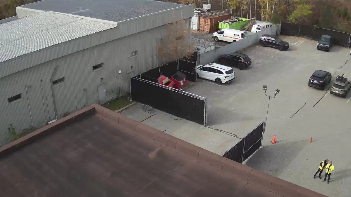
Property analysis for investors
An aerial, visual and thermal snapshot of the building before you buy, refinance or plan work.
Learn more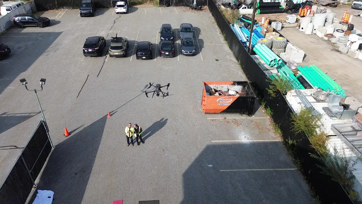
Aerial photo, video and site monitoring
4K aerial footage for your communications and dated documentation of your construction progress.
Learn moreUseful data, presented honestly
A drone documents what can be seen or measured from the air. It does not replace a physical inspection, an engineer's opinion or a land surveyor's certificate. When your project requires a professional's signature, we provide the data capture to your professional or refer you to a qualified partner.
Tell us about your building, land or construction site
Describe your needs in a few lines. We check feasibility, airspace and authorizations, then send you a clear quote.