
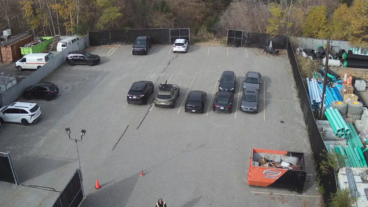
Drone mapping and photogrammetry
Turn hundreds of aerial photos into orthomosaics and 3D models to plan, communicate and track how your sites change.
An up-to-date view of your site
Satellite imagery is often outdated and lacks detail. Drone mapping gives you a current, high-resolution view when you need it.
- Project planning and site layout
- Construction progress documentation
- Industrial, commercial or municipal site management
- A visual base for architects, engineers and surveyors
A calculated flight plan
Photogrammetry relies on heavy overlap between images. We calculate altitude, speed and flight path to reach the target resolution, then process the images into an orthomosaic or 3D model.
Final accuracy depends on flight geometry, RTK positioning, ground control points and processing. We discuss this openly when quoting.
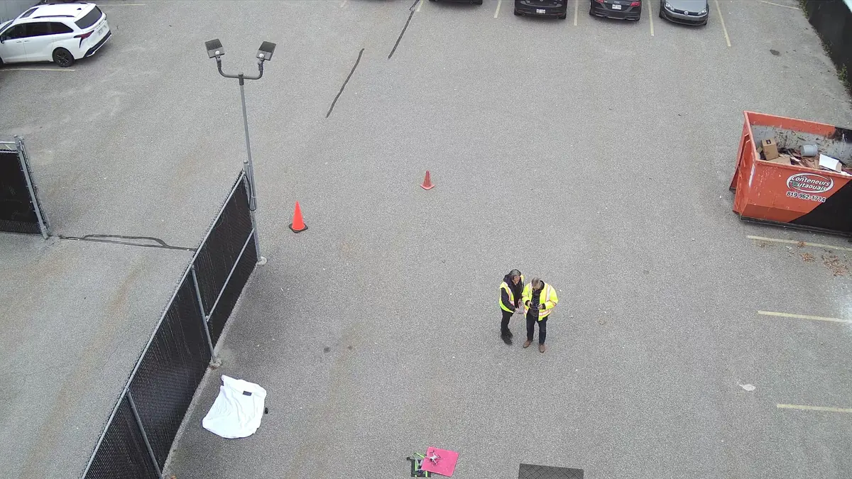
A look at the data
What you receive
- Georeferenced orthomosaic
- Digital surface model
- 3D mesh model and oblique views
- Method report (conditions, resolution, quality control)
- Source images on request
File formats are agreed in the quote, based on your software and needs.
What you should know
- Manufacturer accuracy figures are achieved under specific conditions and do not guarantee a project's accuracy.
- Legal surveys, certificates of location and property boundaries are the work of a land surveyor.
- Dense vegetation hides the ground: LiDAR is then more suitable.
- Reflective or uniform surfaces (water, snow) process poorly.
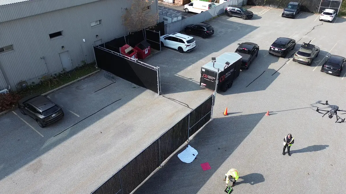
Zenmuse P1, 45 MP full frame
The DJI Zenmuse P1 combines a 45-megapixel full-frame sensor with a mechanical shutter, designed for aerial photogrammetry. On the Matrice 300 RTK, it benefits from RTK positioning for better image georeferencing.
Frequently asked questions
How accurate is a drone orthomosaic?
It depends on altitude, overlap, positioning and ground control. We set the target accuracy with you and document the method in the report.
Can you calculate stockpile volumes?
Volume estimates can be derived from a surface model. They are presented as operational estimates with method and uncertainty, not as official measurements.
Do you work with land surveyors?
We can provide the data capture to a licensed professional who takes responsibility for interpretation and sign-off.
Often combined with this service
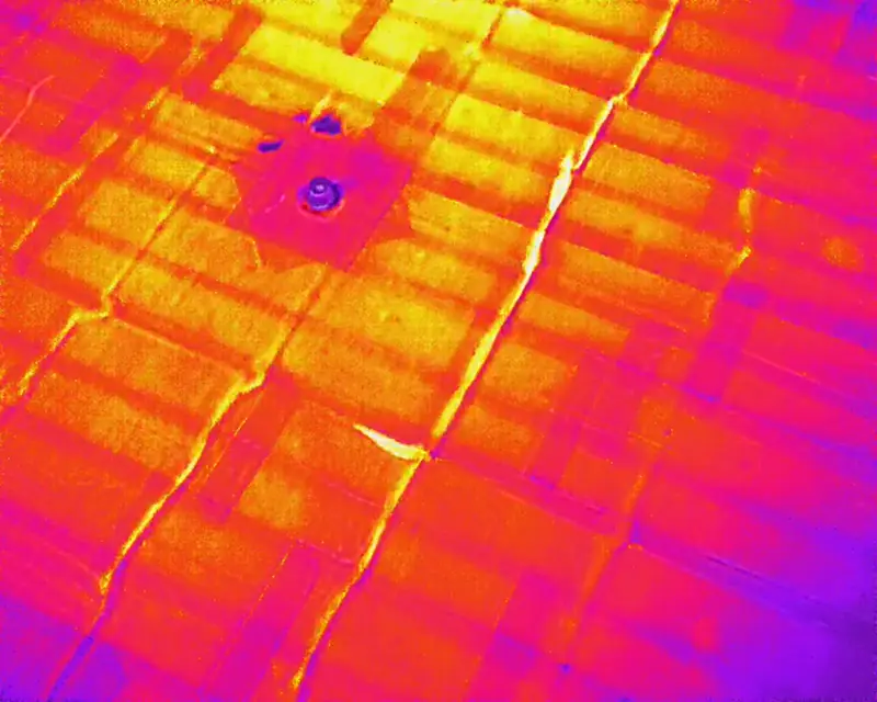
Drone thermal inspection
Spot temperature anomalies on roofs, walls and equipment without scaffolding or a lift.
Learn more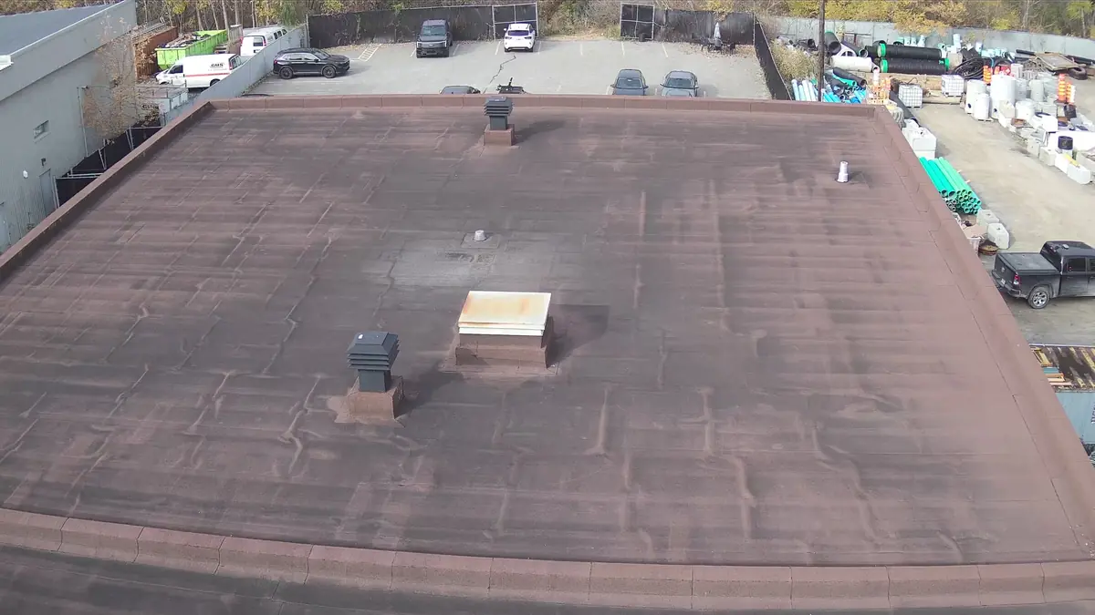
Roof and building inspection
High-definition photos and video of roofs, facades and hard-to-reach structures, with an illustrated report.
Learn more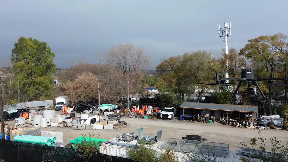
Drone LiDAR survey
3D point clouds with the Zenmuse L1 sensor, useful under vegetation and on complex terrain.
Learn moreTell us about your building, land or construction site
Describe your needs in a few lines. We check feasibility, airspace and authorizations, then send you a clear quote.