See what the eye can't.
Drone thermal inspection and mapping.
DroneOptik360 documents your roofs, buildings, land and construction sites with a DJI Matrice 300 RTK and thermal, photogrammetry and LiDAR sensors. Useful aerial data to help you see, document and plan.
- Pilot Certificate - Advanced Operations (Transport Canada)
- Thermal · LiDAR · Photogrammetry
- Bilingual service, clear reports
Six ways to see your asset more clearly
Each sensor answers a different question. We choose the right tool for your actual need, then deliver data that is easy to understand and act on.
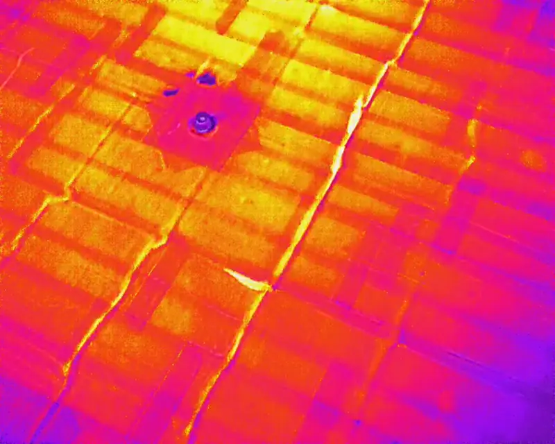
Drone thermal inspection
Spot temperature anomalies on roofs, walls and equipment without scaffolding or a lift.
Learn more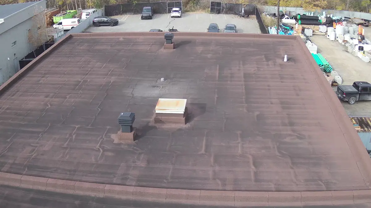
Roof and building inspection
High-definition photos and video of roofs, facades and hard-to-reach structures, with an illustrated report.
Learn more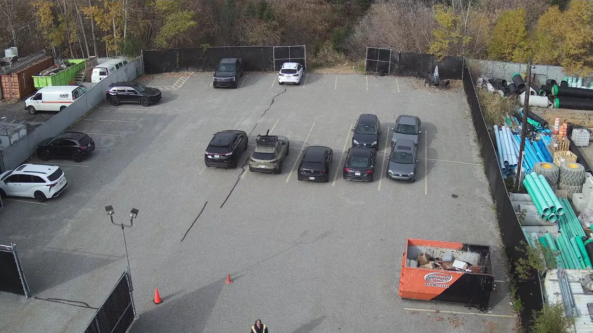
Mapping and photogrammetry
Orthomosaics, 3D models and high-resolution aerial views with the 45 MP Zenmuse P1 camera.
Learn more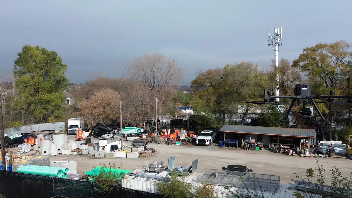
Drone LiDAR survey
3D point clouds with the Zenmuse L1 sensor, useful under vegetation and on complex terrain.
Learn more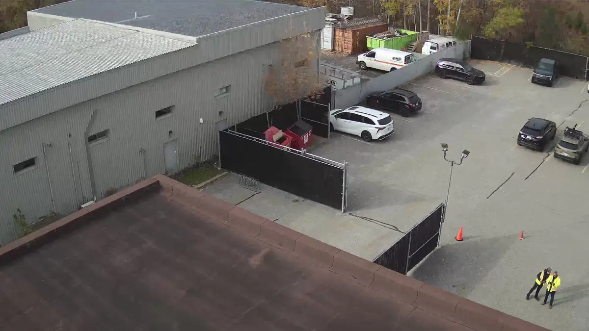
Property analysis for investors
An aerial, visual and thermal snapshot of the building before you buy, refinance or plan work.
Learn more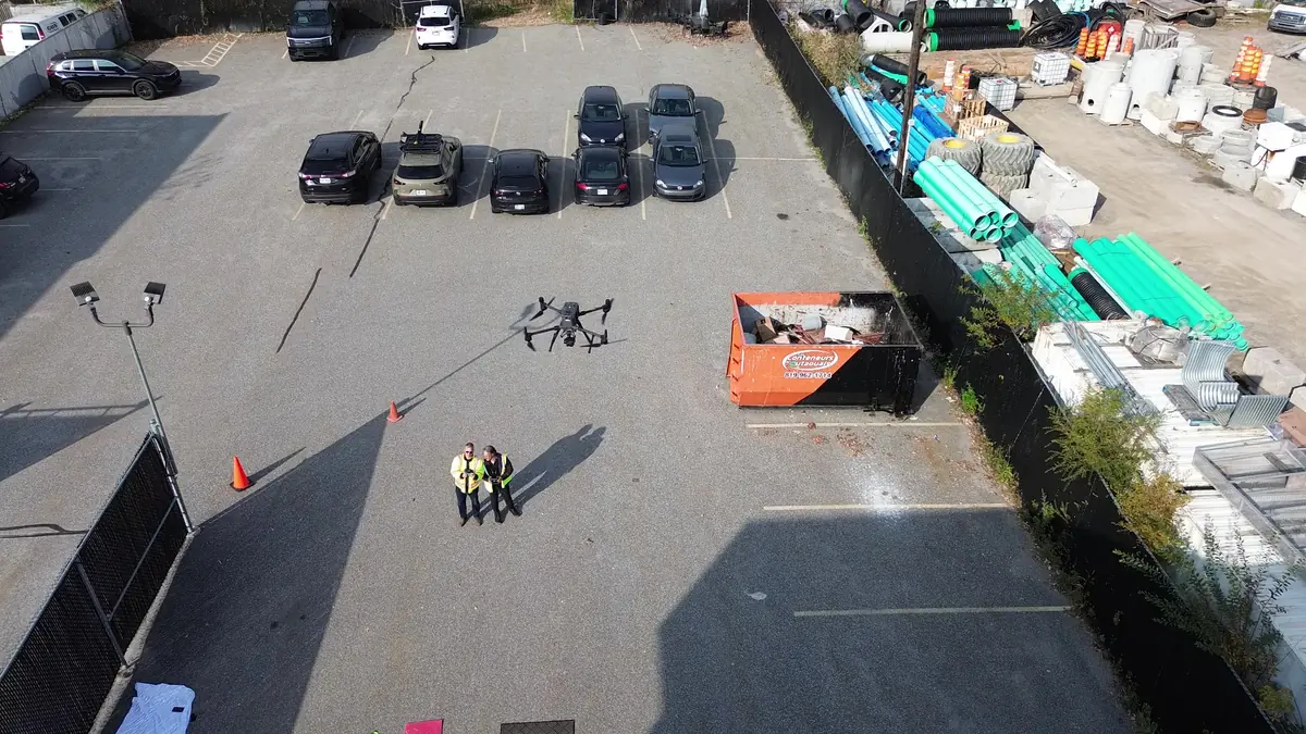
Aerial photo, video and site monitoring
4K aerial footage for your communications and dated documentation of your construction progress.
Learn moreVisible light shows condition. Thermal reveals what's different.
A roof can look fine to the naked eye while one area holds moisture or leaks heat. By combining 4K imagery with radiometric thermal imaging from the Zenmuse XT2, we flag the areas to check first, without scaffolding and without walking on the membrane.
- Membrane seams, flashing, drains and rooftop units
- Heat loss through the building envelope and walls
- Electrical and mechanical equipment that appears to be running hot
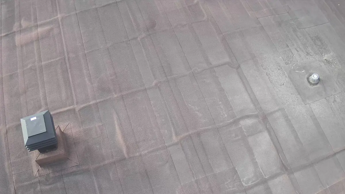
Before you buy, refinance or renovate: look at the roof.
The roof and building envelope are often the biggest capital expenses in a property. In a single visit, our aerial analysis gives you dated images of the roof, walls and lot, in visible and thermal, so you can ask the right questions of your inspector, roofer or lender.
Our co-founder Thierry Vicente has worked in mortgage financing in Gatineau for many years: we know what an investor needs to document.
Every mission is planned like a flight
Safety and data quality are decided before take-off.
Understand the need
Goal, location, timeline, expected deliverables and access constraints.
Confirm feasibility
Airspace, NAV CANADA authorization if needed, weather, neighbours and risks.
Plan the flight
Sensor choice, altitude, overlap, flight path and emergency plan.
Capture the data
Visual line-of-sight flight, with procedures and checklists.
Process and check
Sorting, processing, quality control and flagging of observations.
Deliver and explain
Clear report, stated limits, files in the agreed formats.
A professional platform with specialized sensors
DJI Matrice 300 RTK
Inspection platformRTK positioning, redundant systems and up to 55 minutes of flight depending on payload.
Zenmuse XT2
Radiometric thermal + 4KFLIR 640 x 512 thermal sensor paired with a 4K visible camera.
Zenmuse P1
45 MP photogrammetryFull-frame sensor and mechanical shutter for orthomosaics and 3D models.
Zenmuse L1
LiDAR and point cloudsIntegrated LiDAR, inertial measurement unit and RGB camera for 3D surveys.
Based in Gatineau, working on both sides of the river
We operate throughout Ottawa, the Outaouais and the National Capital Region. Near the Ottawa and Gatineau airports the airspace is controlled, so we obtain the required authorizations before every flight. Service is available in English and French.
- Ottawa
- Gatineau
- Kanata
- Orléans
- Nepean
- Barrhaven
- Hull
- Aylmer
- Chelsea
- Cantley
- Buckingham
- Val-des-Monts
- Outaouais
What areas do you serve?
We are based in Gatineau and serve Ottawa (including Kanata, Orléans, Nepean and Barrhaven) and the entire Outaouais region (Hull, Aylmer, Chelsea, Cantley, Buckingham, Val-des-Monts). Projects further away are assessed case by case.
Are you certified for commercial drone operations?
Yes. Jean-François LeBlanc holds Transport Canada's Pilot Certificate - Advanced Operations. Every flight is planned around the site, aircraft, weather and airspace. When NAV CANADA authorization is required, for example near an airport, we obtain it before flying.
Is a thermal image enough to make a diagnosis?
No. Drone thermography detects apparent temperature differences that tell you where to look. The cause of an anomaly must be confirmed on site, by a roofer, an engineer or a certified thermographer if needed. Our reports say so clearly.
How much does a drone inspection cost?
Every project is different (area, access, airspace, deliverables). We prepare a free quote once we understand your needs, usually within 48 business hours.
Tell us about your building, land or construction site
Describe your needs in a few lines. We check feasibility, airspace and authorizations, then send you a clear quote.