
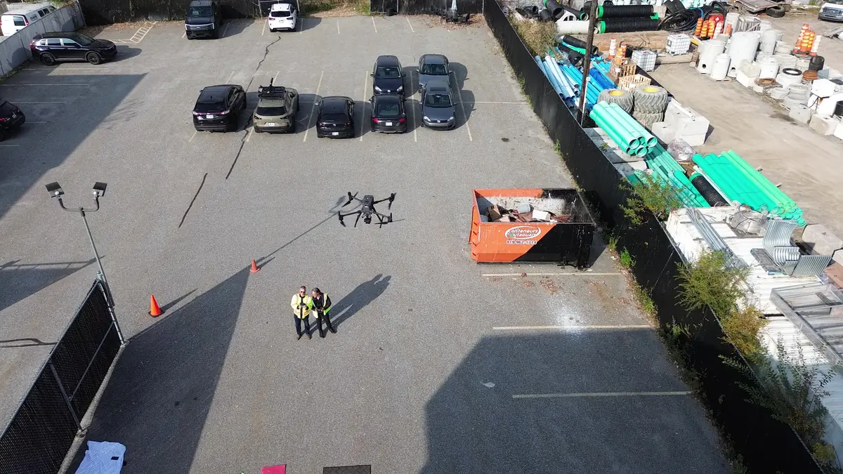
Aerial photo, video and construction monitoring
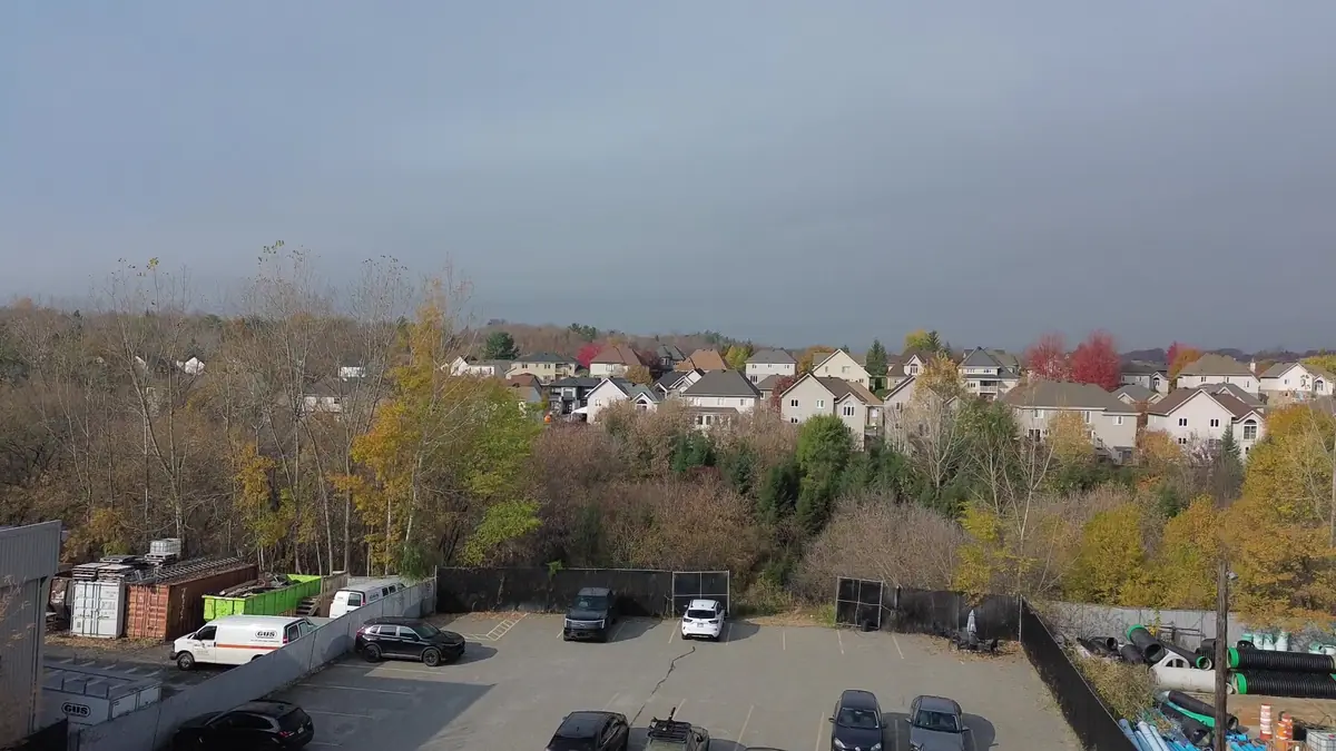
4K aerial images to showcase a site, document a construction project over time or produce immersive sequences, captured safely.
Communicate and document
- Businesses: showcase your facilities and sites
- Commercial real estate: highlight a building or land
- Construction: repeatable views at every project stage
- Municipalities and organizations: project documentation
For construction monitoring, we repeat the same viewpoints on every visit, making comparisons simple and clear.
Safety and respect for neighbours
Every shoot is planned around the location, airspace, presence of people and image rights. Immersive FPV sequences are only flown when the scenario, environment and visual observation allow it.
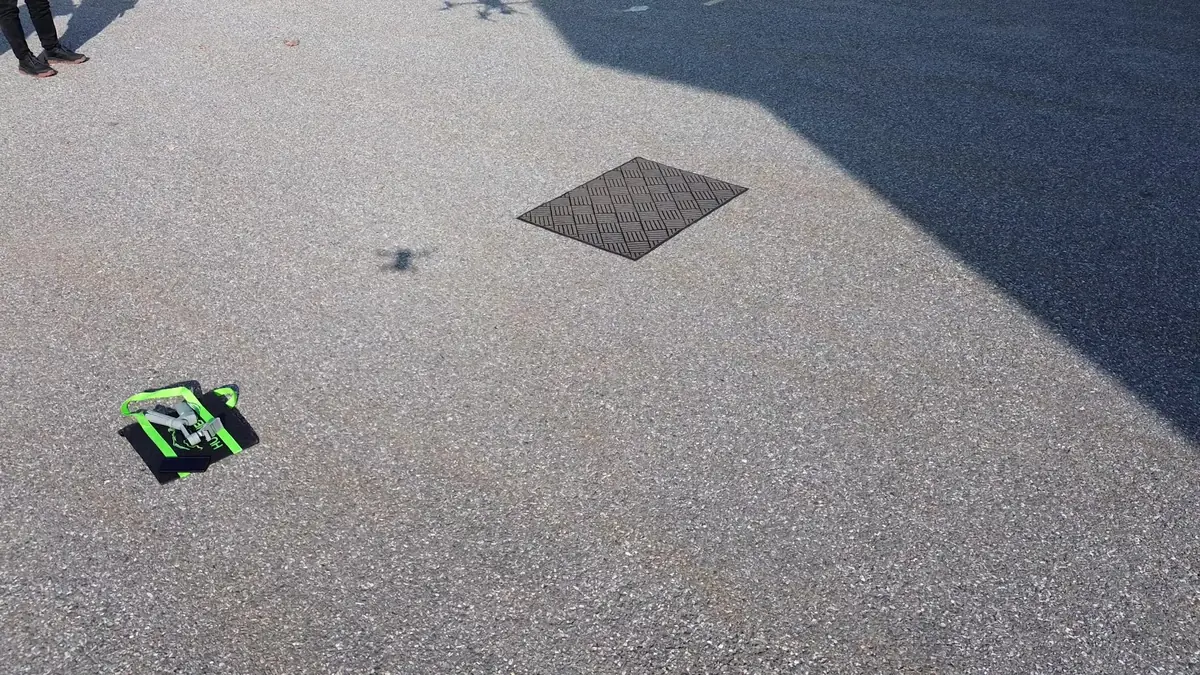
A look at the data
What you receive
- Edited 4K aerial photos
- 4K video and short edit on request
- Immersive FPV sequences depending on the site
- Series of dated, comparable views for construction projects
- Usage rights specified in the quote
File formats are agreed in the quote, based on your software and needs.
What you should know
- No flights over crowds or gatherings.
- Indoor flights or flights over people require a specific assessment.
- Weather can delay a shoot.
- Visual construction monitoring is not a certified quantity calculation.
Several drones to suit the job
The Matrice 300 RTK for stability and professional quality, a DJI Mini 3 for light, discreet shoots, and a DJI Avata 2 for immersive FPV sequences when the site allows.
Frequently asked questions
How often should construction be monitored?
Often every two to four weeks, or at each key milestone. We set the schedule with you at the start.
Can I use the images in my advertising?
Yes, usage rights are specified in the quote. Identifiable people must have given consent.
Do you edit the video?
Yes, a short edit can be included. We can also deliver raw footage to your team.
Often combined with this service
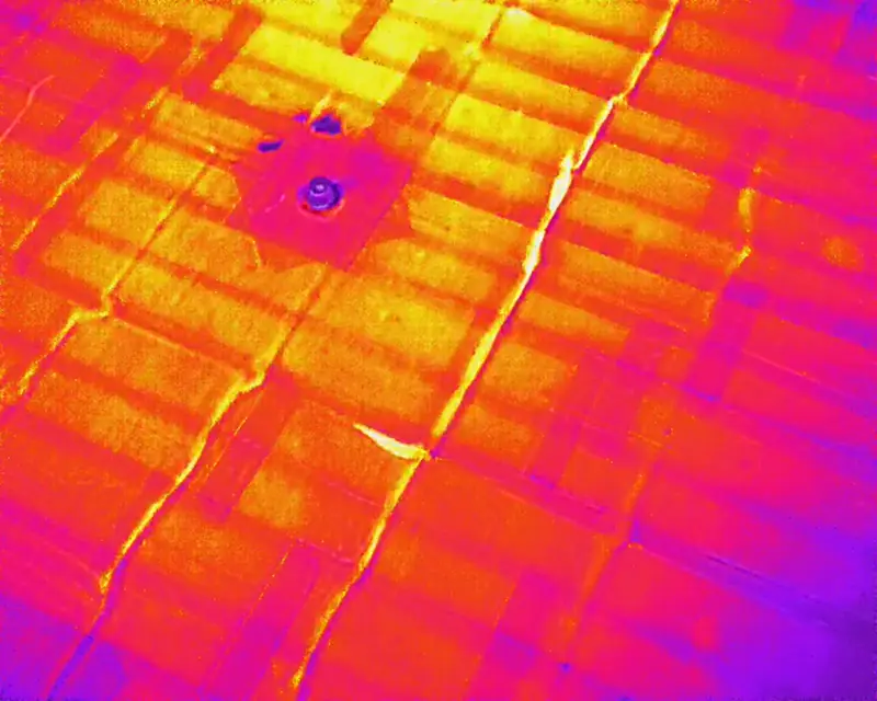
Drone thermal inspection
Spot temperature anomalies on roofs, walls and equipment without scaffolding or a lift.
Learn more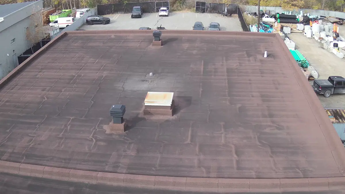
Roof and building inspection
High-definition photos and video of roofs, facades and hard-to-reach structures, with an illustrated report.
Learn more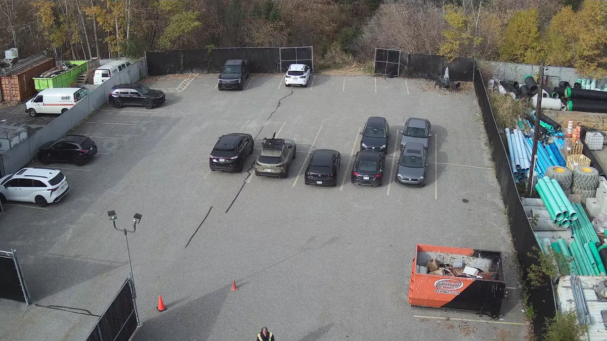
Mapping and photogrammetry
Orthomosaics, 3D models and high-resolution aerial views with the 45 MP Zenmuse P1 camera.
Learn moreTell us about your building, land or construction site
Describe your needs in a few lines. We check feasibility, airspace and authorizations, then send you a clear quote.