
Drone inspection FAQ
Regulations, weather, timelines, method limits and privacy: answers to the questions we hear most often.
What areas do you serve?
We are based in Gatineau and serve Ottawa (including Kanata, Orléans, Nepean and Barrhaven) and the entire Outaouais region (Hull, Aylmer, Chelsea, Cantley, Buckingham, Val-des-Monts). Projects further away are assessed case by case.
Are you certified for commercial drone operations?
Yes. Jean-François LeBlanc holds Transport Canada's Pilot Certificate - Advanced Operations. Every flight is planned around the site, aircraft, weather and airspace. When NAV CANADA authorization is required, for example near an airport, we obtain it before flying.
Do you need authorization to fly near the Ottawa or Gatineau airport?
Yes. Much of the region is controlled airspace. In those areas, we request NAV CANADA authorization before flying, which requires a pilot certified for advanced operations and an eligible drone. Allow a few days of lead time.
Is a thermal image enough to make a diagnosis?
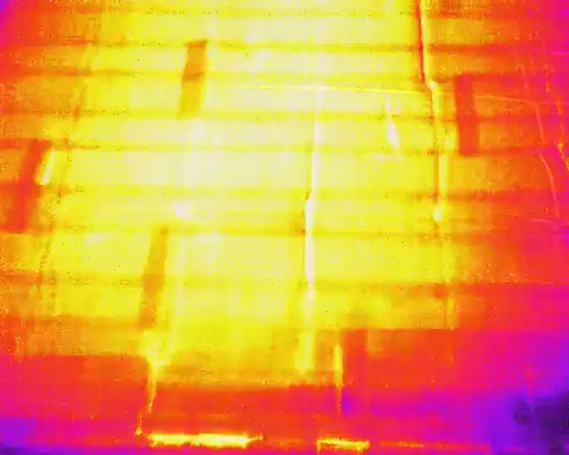
No. Drone thermography detects apparent temperature differences that tell you where to look. The cause of an anomaly must be confirmed on site, by a roofer, an engineer or a certified thermographer if needed. Our reports say so clearly.
When is the best time for a thermal inspection?
For a roof, often in the evening after a sunny, dry day. For a heated building envelope, in the cold season with a strong indoor-outdoor temperature difference. We choose the window based on your goal.
What happens if it rains or is windy on the scheduled day?
We reschedule at no charge. Safety and data quality come before the schedule.
How much does a drone inspection cost?
Every project is different (area, access, airspace, deliverables). We prepare a free quote once we understand your needs, usually within 48 business hours.
How soon will I receive the report?
It depends on the type of data. Photos and video can be delivered quickly; an orthomosaic, point cloud or thermal report requires more processing. The timeline is stated in the quote.
Are you land surveyors or engineers?
No. We provide aerial data and observation reports. Legal surveys, certificates of location, engineering assessments and certified energy audits are the work of licensed professionals, with whom we can collaborate.
Can you fly over neighbouring properties or a street?
Distance rules regarding people and neighbouring properties apply to every flight. We adjust the flight path, secure the perimeter and notify neighbours if needed.
What do you do with images of my property?
They are used only for your project. We transfer them securely and never publish them without your written permission. See our privacy policy.
Do you offer service in French?
Oui. We serve clients in English and French on both sides of the Ottawa River.
Tell us about your building, land or construction site
Describe your needs in a few lines. We check feasibility, airspace and authorizations, then send you a clear quote.